Interactive Bible Map Features of the Scripture Study Bible
Why did the men of Jabesh Gilead risk their lives to recover Saul's body from the Philistines in 1 Samuel 31? Follow a link from the chapter to see a list of all events at Jabesh Gilead. From that list, we find that Saul had saved the city from an Ammonite invasion in 1 Samuel 11.
Use the interactive map to find this and many more facts and Scriptural co-incidences.

The map requires a working internet connection to download images as there are too many to store on typical devices.
Bible Maps by Chapter
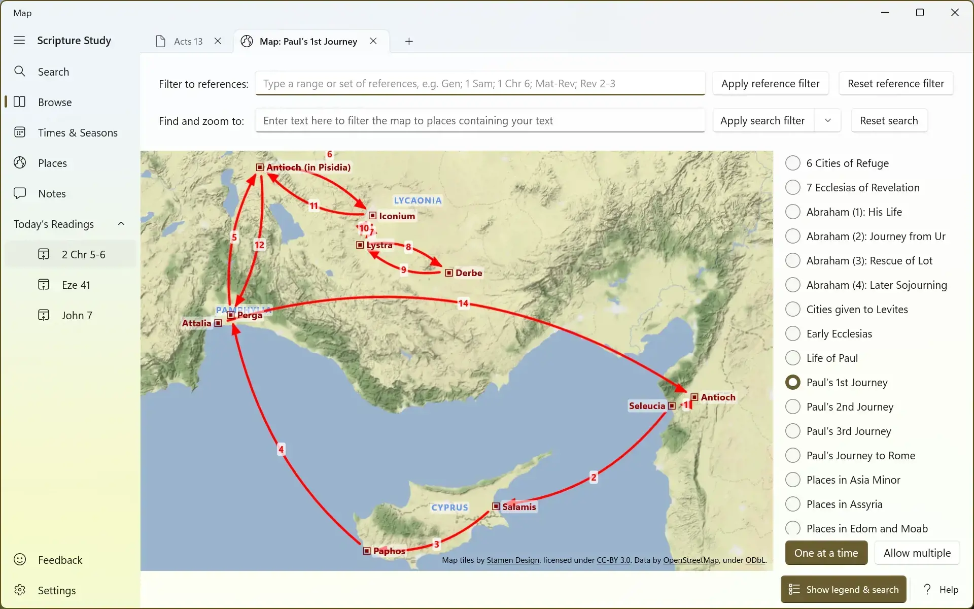
At the start of every Bible chapter containing place names, there's a link that will open a map showing all of the places mentioned in that chapter.
Filtering and searching
The map can be overwhelming at first with so many locations. If you're researching a range of verses, chapters or even books, you can reduce the amount of information displayed on the map to focus just on that range. To do this, enter your range in the Filter to references box at the top of the map and either press enter or click/tap the Apply reference filter button.
Click the Reset reference filter button to clear the text box and show all data on the map again.
You can also search within the reference range that you've entered, or within the whole Bible if you haven't entered any reference range. Type the place to find in the Find and zoom to box and then press enter or click/tap the Apply search filter button to only show matching places on the map. You can search for just a few characters to find all places containing that combination of letters.
Click the Reset search button to clear the search criteria box and reset the map.
You can also drop down the Apply search filter button and choose the Find option instead of the Filter option. This will keep all data visible on the map but will zoom the map to the place you're searching for.
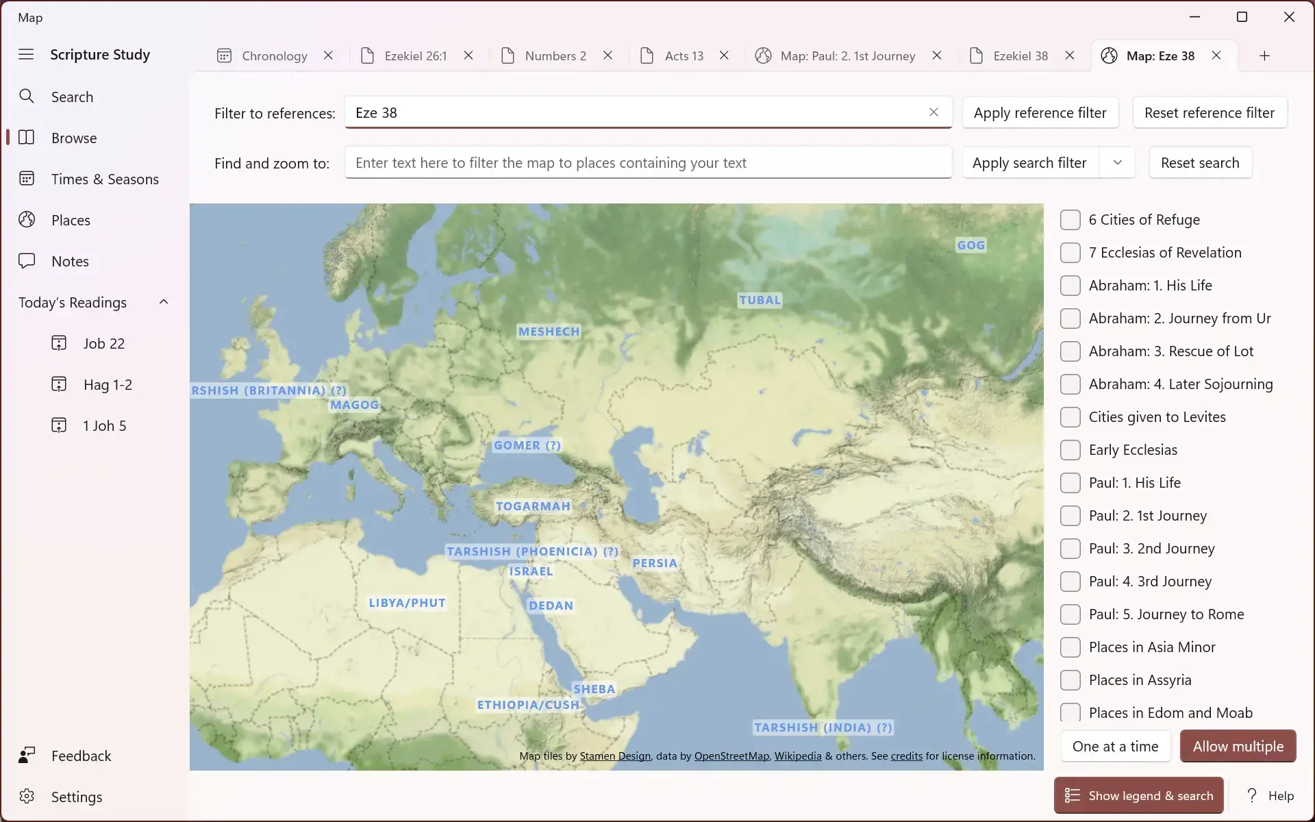
Here's an example showing a search of Ezekiel chapter 38 showing the nations mentioned there.

Using sets of locations
Tick and untick sets of locations using the list on the right. Many places are in multiple sets, for example Jerusalem is in both Places in Israel & Judah and Ministry of Jesus so Jerusalem will show on the map if either of these is ticked. Click a place to see the sets it is part of.
Data completeness
Like the chronological data on the timeline, the location data on the map is carefully researched and curated. This means we are adding more data each month in each automatic app update. If there is a particular chapter or set of places you would urgently like us to add, please use the Feedback option in the app to send us a request.
Map imagery
We're very grateful to Stamen Design for permitting use of their map tile images. These are licenced under the terms of the Creative Commons BY 3.0 licence. Some data is provided by OpenStreetMap and are licenced under ODbL.
Move on to the next feature
Navigate back to the features list or back to the homepage overview